Mooresville's new growth plan expects 46,334 more people in its planning area by 2040, with 14,204 homes already approved. Here is what it changes and what comes next.
Mooresville has a new rulebook for how it grows. The Board of Commissioners adopted the Mooresville Tomorrow 2040 Comprehensive Plan on Monday, Sept. 21. It replaces the plan the town adopted in 2019.
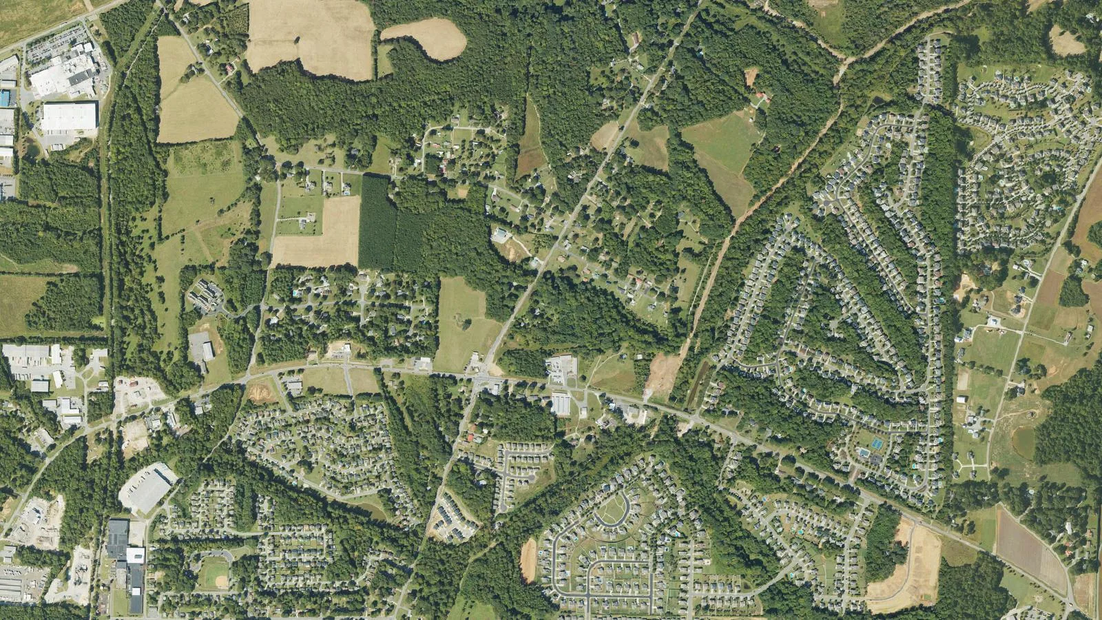
The plan expects the Mooresville planning area to gain 46,334 people by 2040. That area is the town limits plus the land around them that the town plans for. About 14,200 homes there are already approved but not yet built.
The figures come from the final adopted plan (PDF, 169 pages), which the town has now published on its Mooresville Tomorrow page.
Why the town wrote a new plan
The plan says Mooresville’s population jumped nearly 30% from 2020 to 2022. It calls growth at that pace and in its current form “unsustainable for a longer time period.” It says that kind of growth threatens the town’s “charm, high quality-of-life, and supporting infrastructure.”
Residents shared a concern that the town would “overwhelm itself and look like anywhere else” without strong guidance from town officials, the plan says.
The numbers behind it
The plan’s projections cover the planning area: town limits, the extraterritorial jurisdiction and a wider “area of influence.”
| 2024 | 2040 | Change | |
|---|---|---|---|
| Population | 97,888 | 144,222 | +46,334 |
| Homes | 37,319 | 57,114 | +19,795 |
| Jobs | 53,374 | 67,071 | +13,697 |
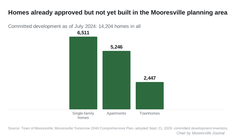
Much of that growth is already in the pipeline. As of July 2024, the town counted development approved but not yet built:
- 6,511 single-family homes
- 5,246 apartments
- 2,447 townhomes
- 3,018,028 square feet of industrial space
- 643,421 square feet of retail
- 437,886 square feet of office space
The plan assumes all of that is built by 2034. It projects the six years after that at 4% annual growth.
What the plan changes
A comprehensive plan is a policy guide, not a zoning law. But the board and the Planning Board weigh rezoning requests against it. The plan’s main tools are:
- A Conservation and Development Map. It sorts land into 14 “place types” and four kinds of activity centers, showing where the town wants parks, neighborhoods, jobs and mixed-use centers.
- The burden on developers. Every development application must include statements showing how it meets the plan’s maps, targets and policies.
- No large standalone apartment complexes. The plan records that town policy already requires new apartments to share their site with stores or offices, as mixed-use development.
- Open space as part of new development. The town is to write standards protecting natural areas, forests, floodplains, parks and greenways.
- Room for public buildings. When reviewing projects, the town may ask developers to set aside land or building space for community facilities.
The plan already shapes decisions. The planning staff report on a North Gibbs Road townhome request, heard Oct. 19, said the request did not match the plan, which marks the site as an industrial center. We covered that case in our Oct. 19 board agenda story.
What comes next
The plan’s action list has 55 short-term items, seven mid-term and three long-term. The plan calls it a “wish list” drawn up “without regard to available Town budgets or staff resources,” so timing can shift.
The early steps include:
- a UDO Task Force, appointed within a year, to help rewrite the town’s Unified Development Ordinance to match the plan
- reviews of the land development standards, the capital improvements plan and the annual budget
- a yearly community report card on progress, presented to the board in the first quarter
The long-term items include the Mooresville Mobility Plan’s road projects, such as the East-West Connector. The plan also supports the CATS Red Line commuter rail or a North Corridor bus rapid transit line to ease Interstate 77, if the studies show a benefit to the town.
The plan is to be reviewed in three to five years and updated in five to 10 years.
How residents shaped it
Public engagement ran from January 2024 to October 2025, the plan says. It records:
- 148 participants in community workshops, with one event per ward in each series
- 595 project survey responses
- 7,579 visits to the project website
- 83 comments on the draft document
What it means for you
- If a rezoning is proposed near you, the plan’s map is now the yardstick. Ask town planners what place type covers the site. Three River Highway requests for 546 homes go to public hearings Monday, Nov. 2.
- Read the plan before you speak at a hearing. Pointing to a specific policy carries weight. The policies are in Chapter 6 of the adopted plan.
- Watch for the UDO Task Force. The rewrite of the development rules is where the plan becomes enforceable. We will report when the town appoints it.
For how permits and rezonings work in town, see our building permits and zoning guide.
Have your say